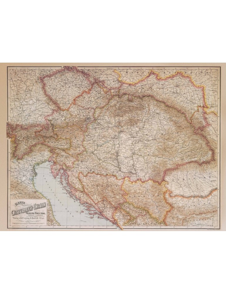


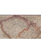


AUSTRIA-HUNGARY
Map of Central Europe 1890
(78 x 58 cm)
Map of Central Europe 1890 (Austro - Hungarian Empire, Habsburg Monarchy)
Size: 78 x 58 cm (35.5 x 26.5 inches)
Travel back in time with this stunning historical map poster of Central and Eastern Europe in 1890, during the height of the Habsburg Empire.
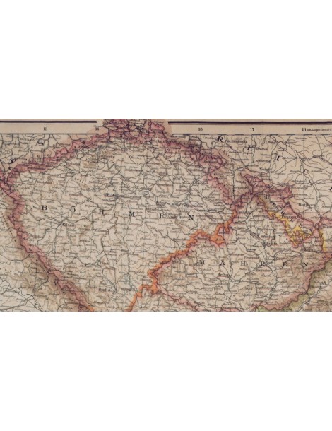
The poster transports you to a bygone era, when Europe was a patchwork of diverse cultures and territories. Trace the borders of the Habsburg Empire, from Vienna to Budapest, and discover the countless cities, towns, and villages that once comprised this fascinating corner of the world.
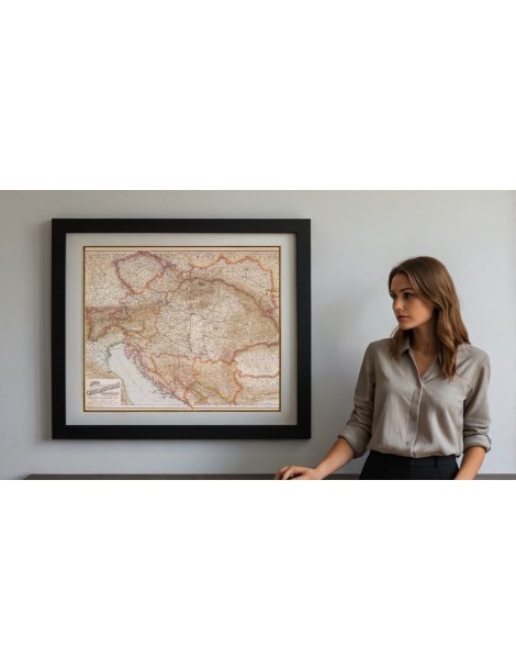
Hang it in your home, office, or classroom, and add a touch of history to any space. Perfect for history buffs, map collectors, or anyone interested in the rich cultural heritage of Europe.
Order now and bring a piece of history into your life.
The poster includes: Cisleithania (Empire of Austria): Bohemia, Bukovina, Carinthia, Carniola, Dalmatia, Galicia, Küstenland, Lower Austria, Moravia, Salzburg, Silesia, Styria, Tyrol, Upper Austria, Vorarlberg, Transleithania (Kingdom of Hungary): Hungary proper, Croatia-Slavonia, Bosnia and Herzegovina